
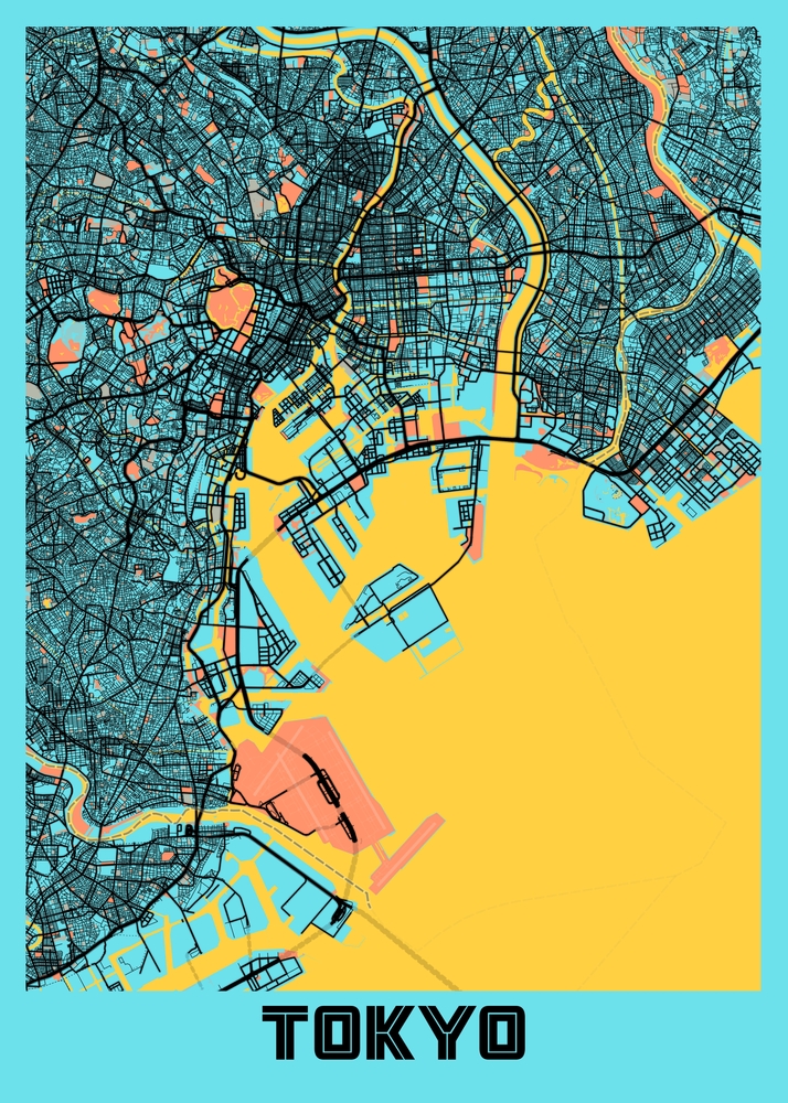
A Map Tell Us Where We Are and Where We Are Going.
By Erica and Karen
We don’t know about you, but phones and GPS and little blue lines with dots just don’t do it for us. We can’t tell where we are in relationship to anywhere else. We can’t tell if we should go left or right. And once we get to our destination, we can never retrace our steps and figure out how to get there again.
We need a map.
We each started traveling when we were relatively young. We learned quickly how to read a map. Wherever we went, we had a map. In the car, the map was spread out on the lap of the shot gun driver ,who had carefully plotted the route before assuming the position. In foreign cities, they were either picked up in the Amex office or Information Center, if not ripped out of the back of your Frommer’s or Lonely Planet guide.
As time went on, maps got better. Our favorites were the Streetwise maps, laminated with every street and site easily accessible from a pocket or a purse. As far as we can tell, Streetwise stopped publishing those maps around 2017 or so.
And then they were no more. Maps were replaced by GPS in your car and phones in your pocket. Your car could now take you to wherever you want to go, even though you have no idea where that exactly is. And God forbid the internet goes down. You could be driving around in circles for hours. We are confident our kids have no clue what directions their regularly travelled roads run.
And going some place new, even in your own city, is a most unsatisfying experience. For example, if you are a New Yorker, like we are, you figure out what public transportation to take. You get out of the subway or off the bus and look down at your phone. There’s a blue line. You start to walk. You realize you are going in the wrong direction. You turn around and go the other way. The blue dot is with you. Hallelujah. You get there. You are so relieved. But how did you do that? What street did you turn on? Was it a left or a right? Thankfully, you have your phone to steer you back home.
In cities abroad that we travelled with maps, we still have a good sense of where we are when we visit now. We can find stuff even without our phones. We remember. We have a good sense of where things are in relation to one another. Even years later, we know which way to start walking. The city makes sense to us. We can figure it out.
For places we now navigate without that history, we are at a loss. There is no muscle memory. We go from place to place, trying to follow the blue lines without regard to north or south, east or west, knowing that without them we are lost. We lose a sense of how the configuration of each city tells you why it’s unique and how its streets shaped its history. The process is missing a piece of the puzzle and the story.
So, we are very grateful when a concierge asks, Would you like a map? The answer is: Definitely. Yes. We need maps, not just because they tell us how to get to where we want to go, but because they give us a window into where we are that we can’t get anywhere else.


I actually agree about physical maps. But I do find Googlemaps more useful than I used to. I need the written directions more than the blue dots. And Ilike the comparisons of how long it will take to reach a destination by walking vs. by Metro. SoI now use the combo. But maps are increasingly hard to find and buy. And my favored A to Z ones should now come with magnifying glasses!